Geolocation here is put on Airakty. However, Sherkala is nearby, see OpenStreetMap
Let's start with Sherkala. We, as a tour group, only drove around it without any stop, because our tour was quite intensive. But I got sure, that Sherkala has many great angles for a photo. From one point it really resembles Minas-Tirith, from the others -- portals of dwarf kingdoms. That's how monumental nature made it.
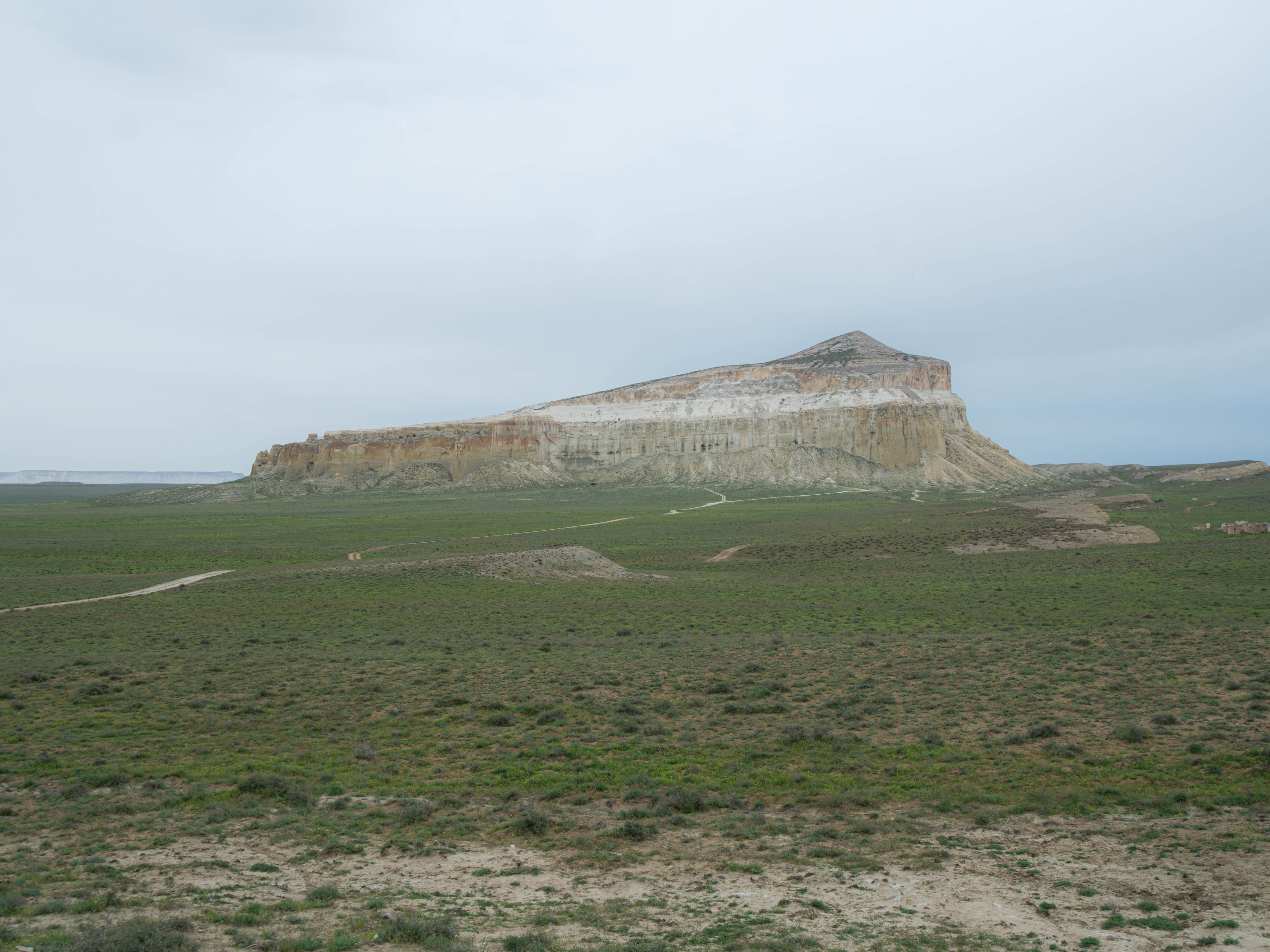
And it has breathtaking legends, the famous one tells about the early Medieval time. Sherkala served as a Turkmen fortress. Invaders (Khorezmians? Persians?) laid siege upon it. Turkmens managed to hold it for a long time, but the enemies found their water source underground. Afterwards the fortress was taken.
And there is also a green oasis nearby, where caravans made their way through a town of Mangyshlak...
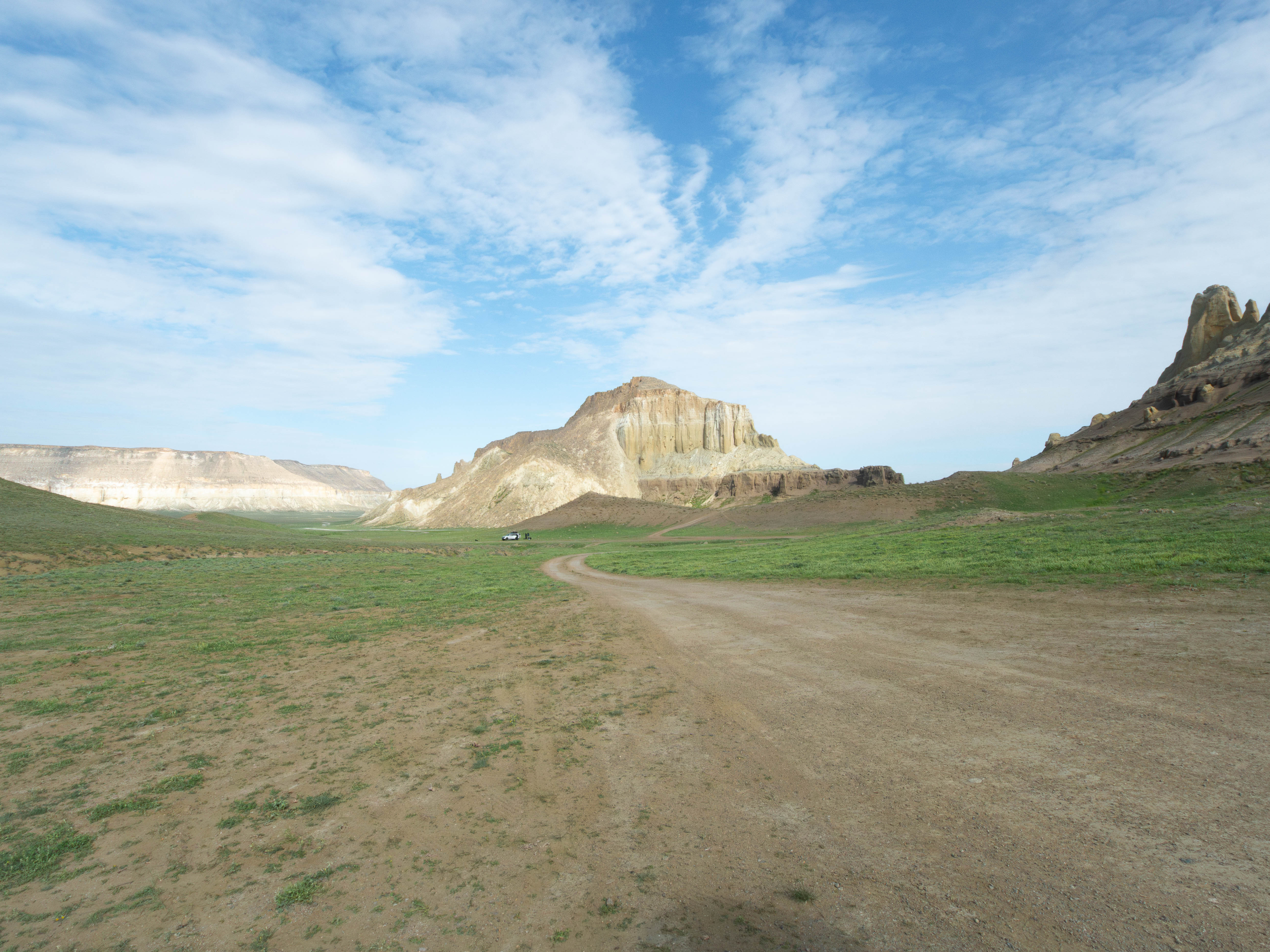
Passing north is a massive Kurturmas valley, surrounded by mounts.
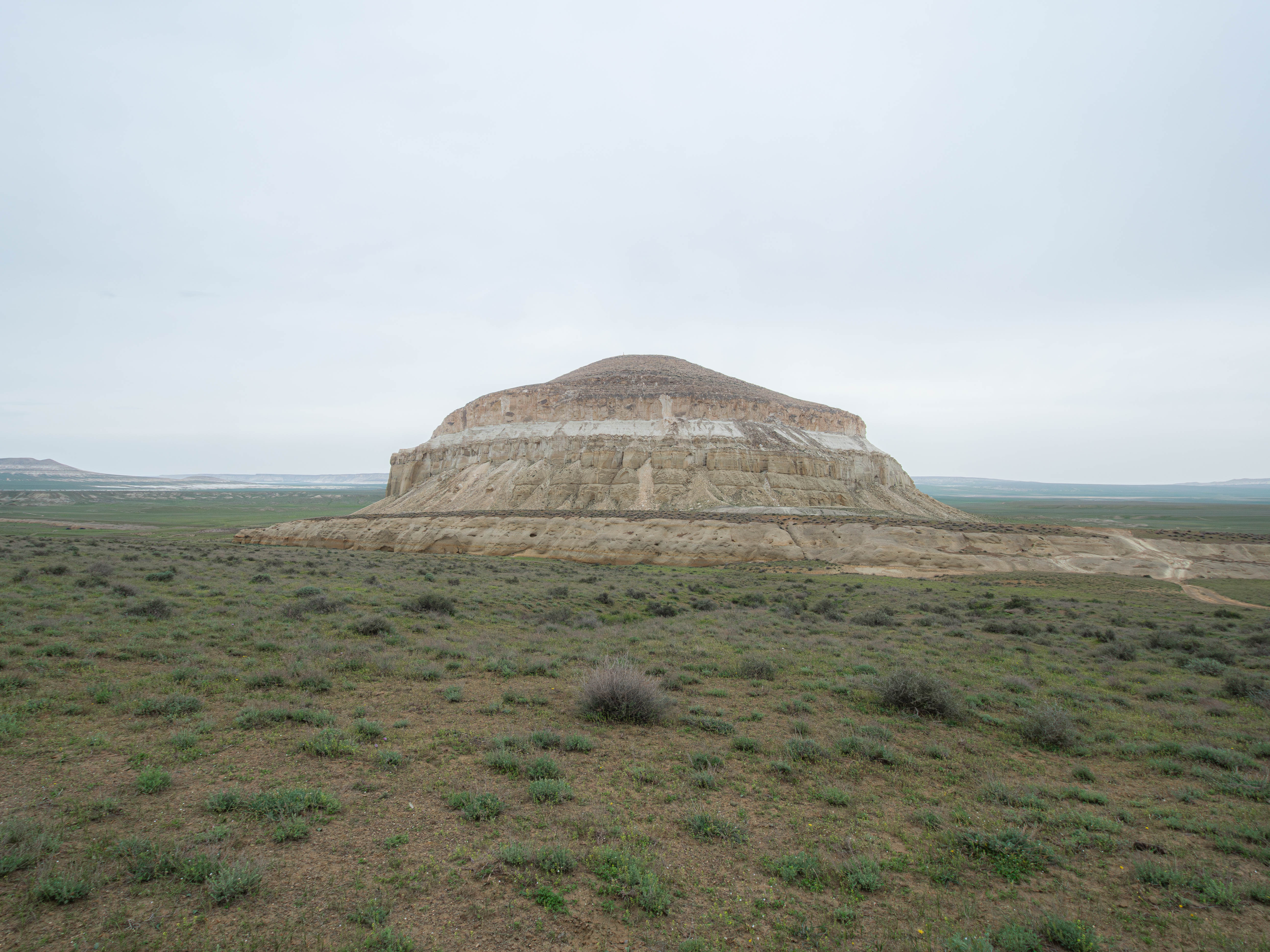
The Airakty castle valley is a part of Kurturmas. It's limestone remains with whimsical gullies, looking like hand-made. But the span of its life is not long indeed (in geology terms) -- just a million years, and these mounts may completely crumble.
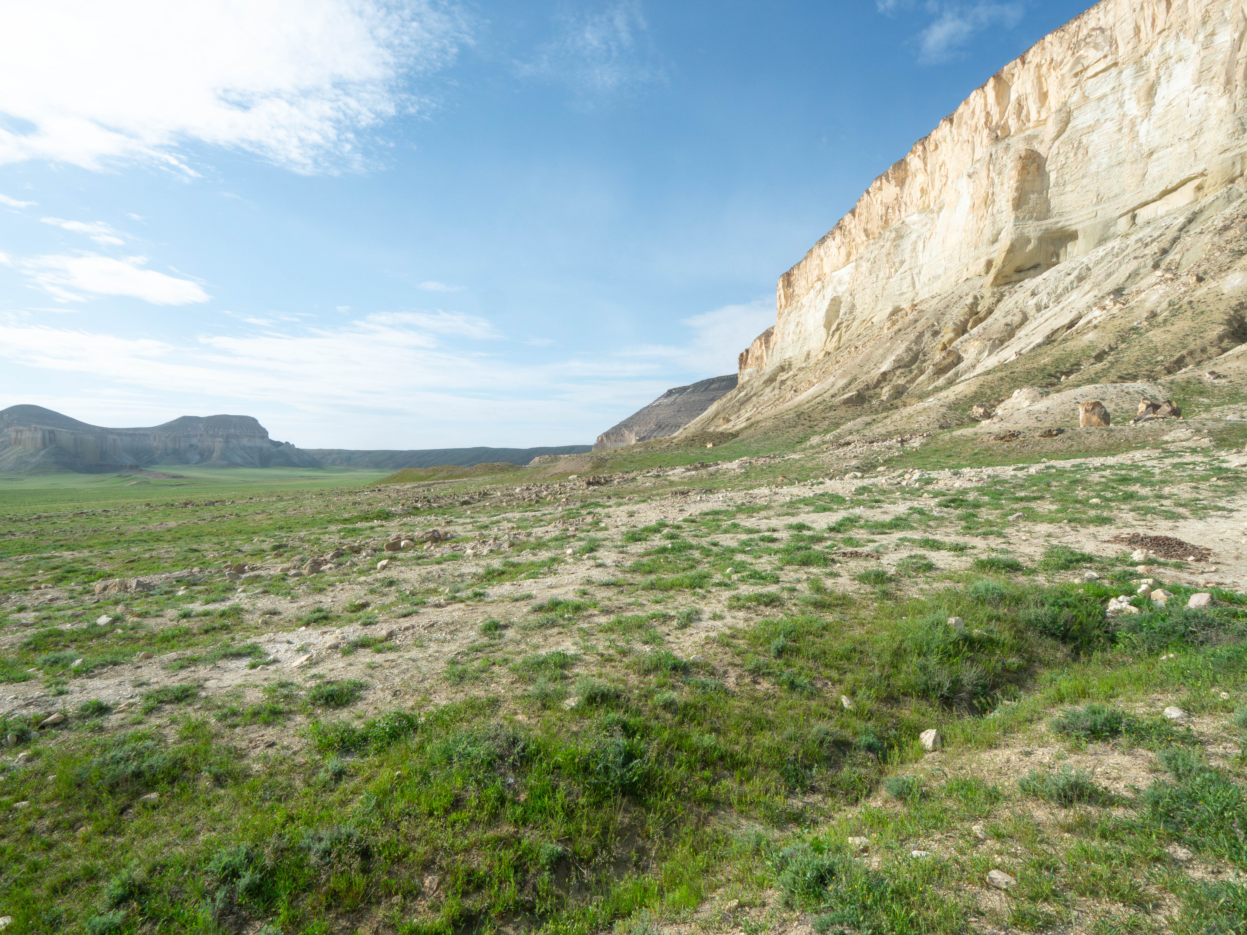
It's possible to climb a more collapsed rock called Tamalak (?)!
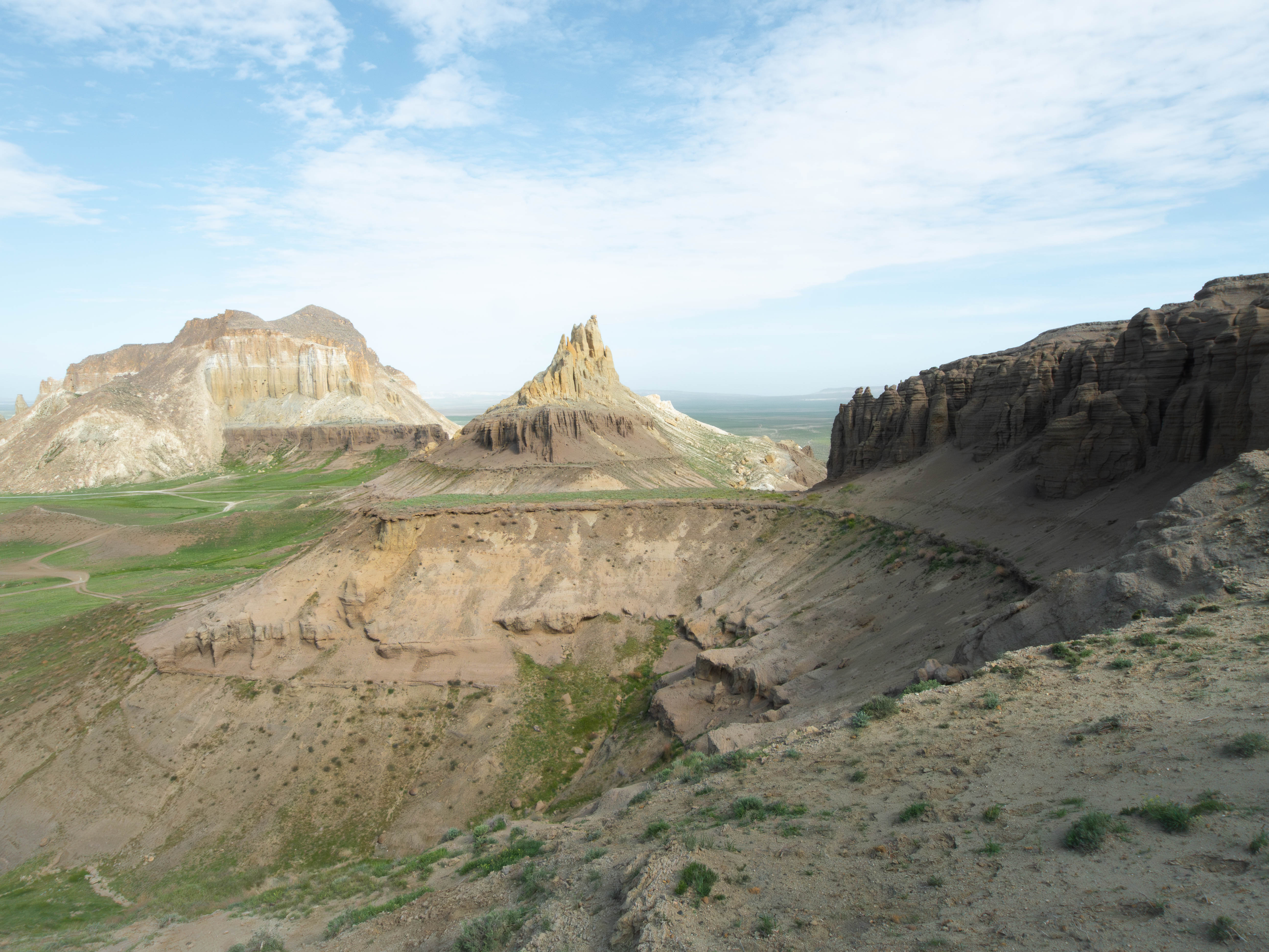
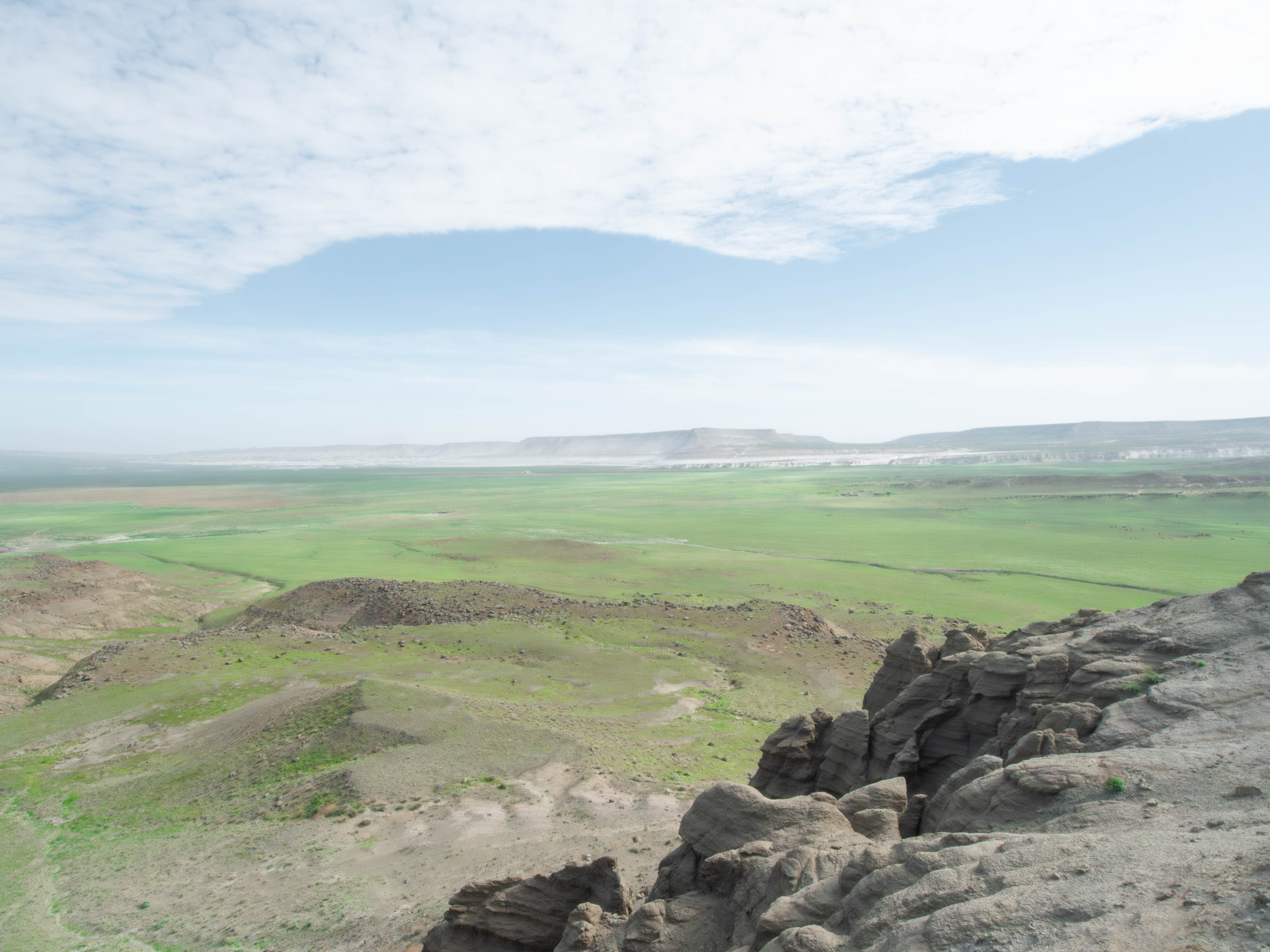
A view on Ktayairakty (?) и Zhairakty (?)
1A view on Ktayairakty (?) и Zhairakty (?)
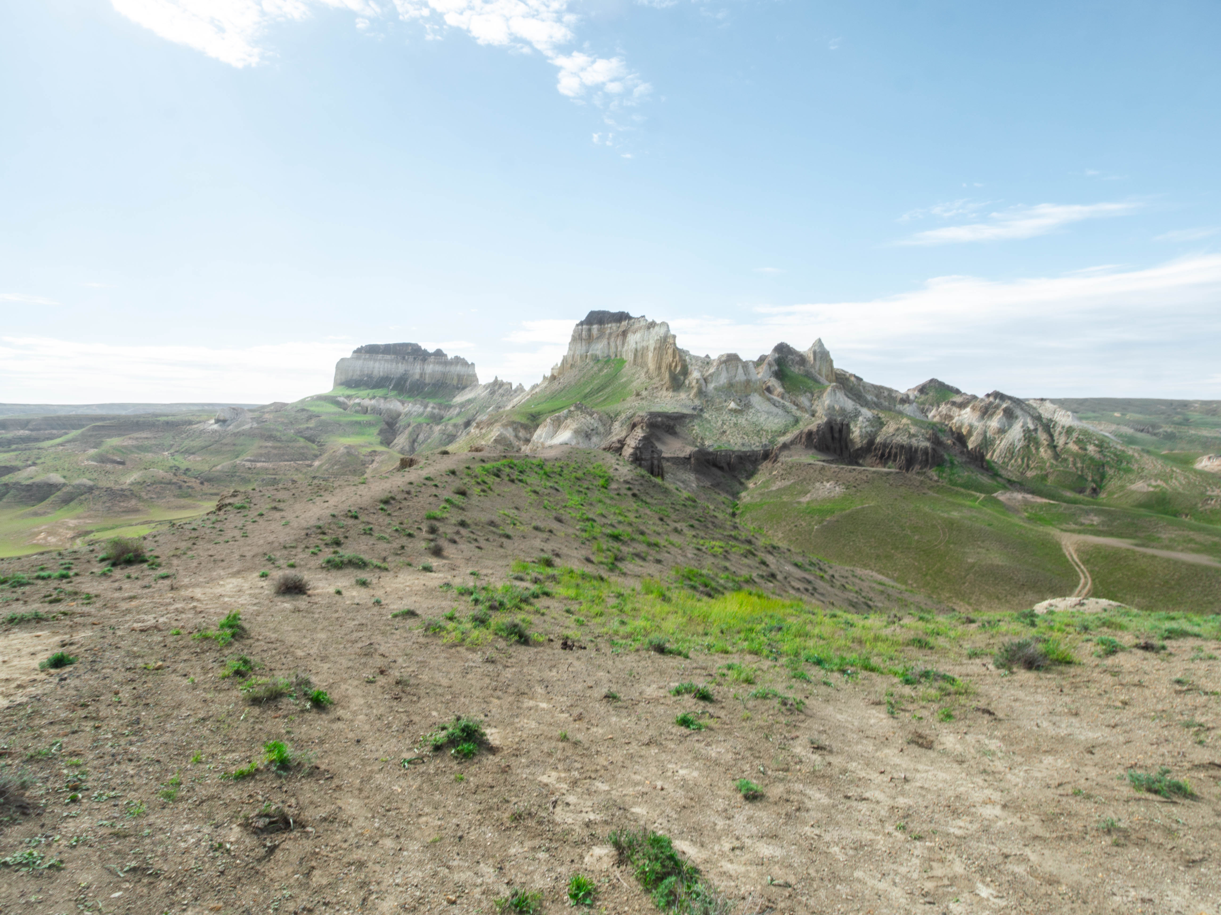
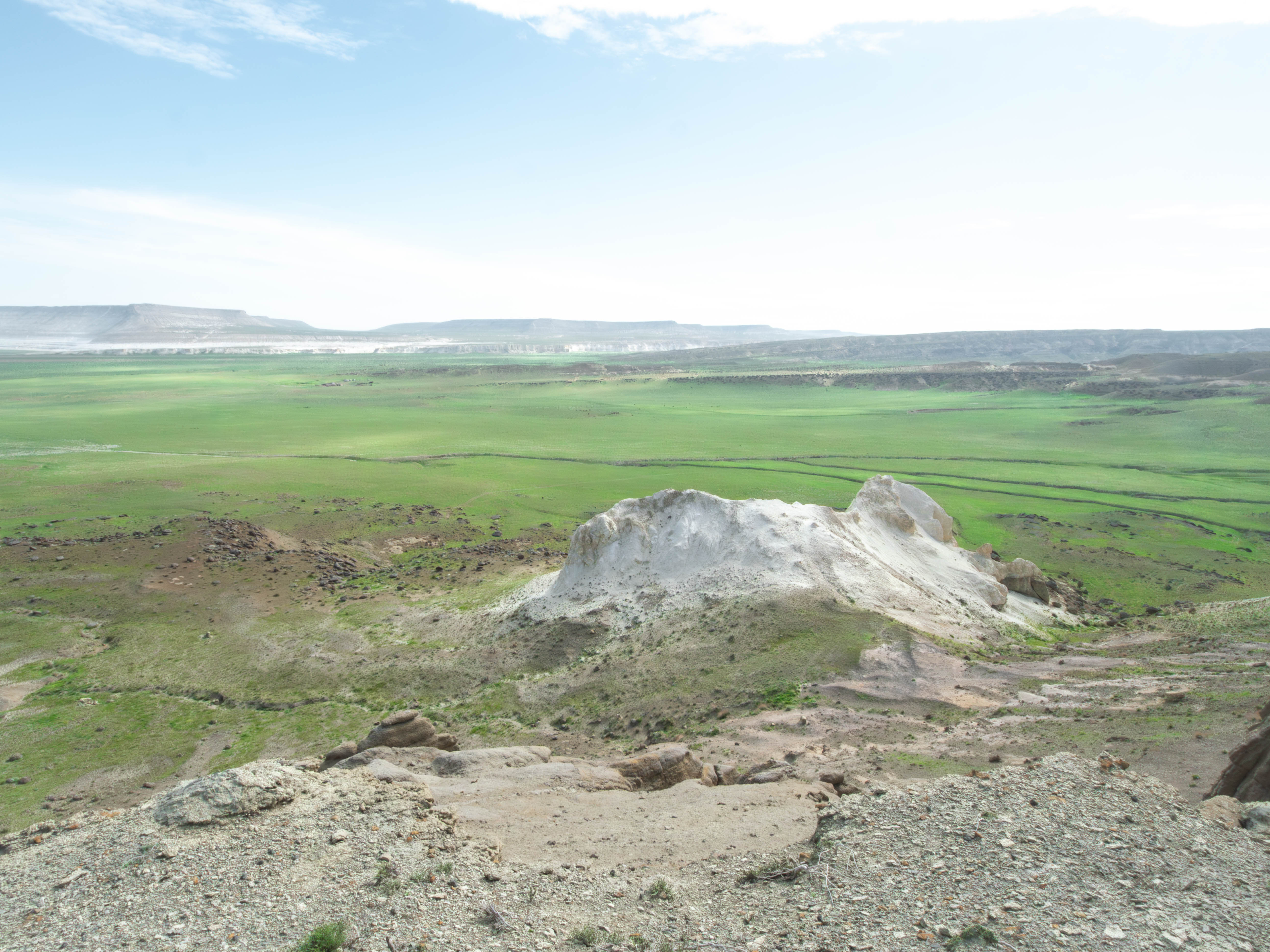
From the other side (looking to north?) -- another ruins of a giant castle
2From the other side (looking to north?) -- another ruins of a giant castle
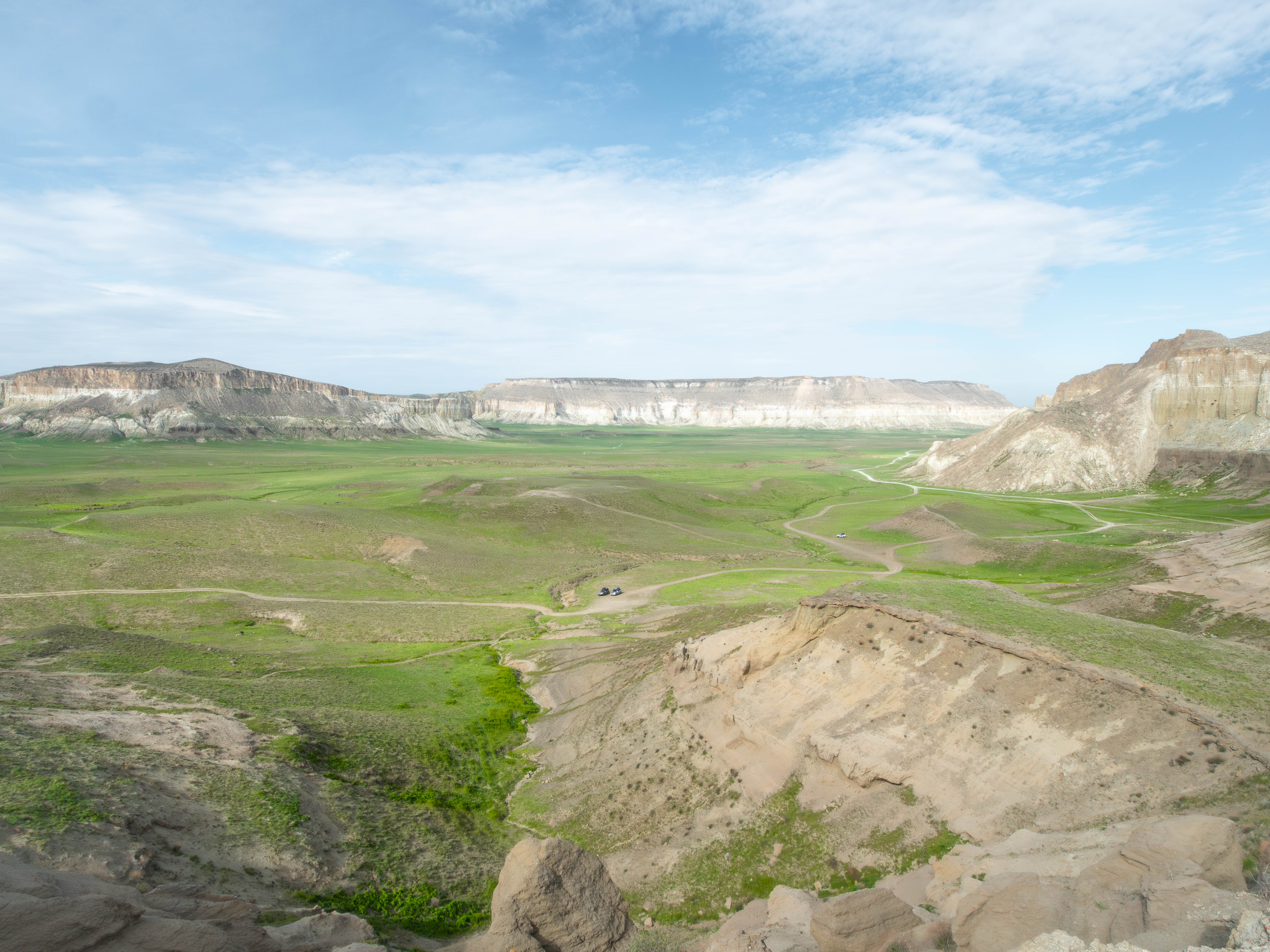
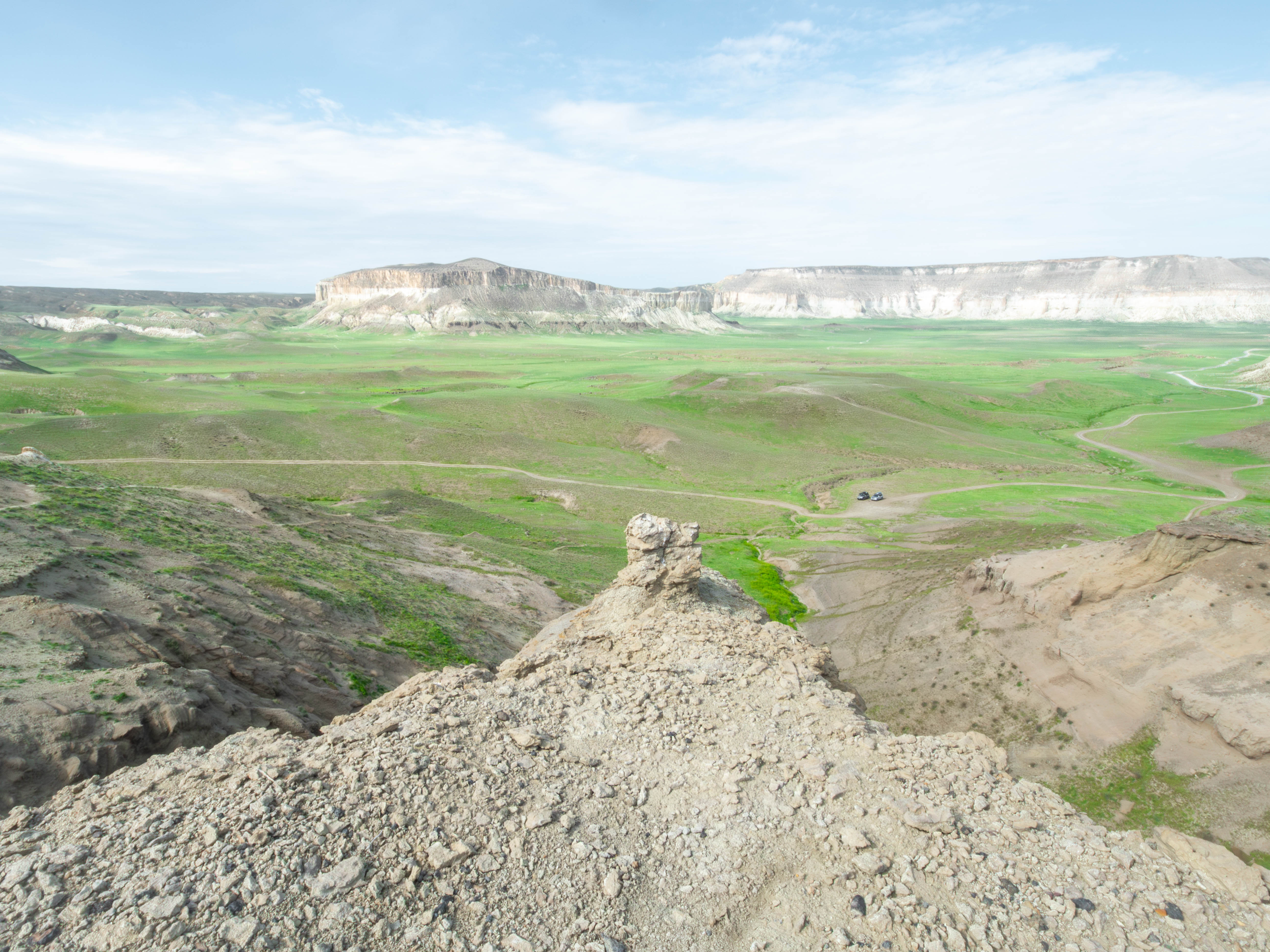
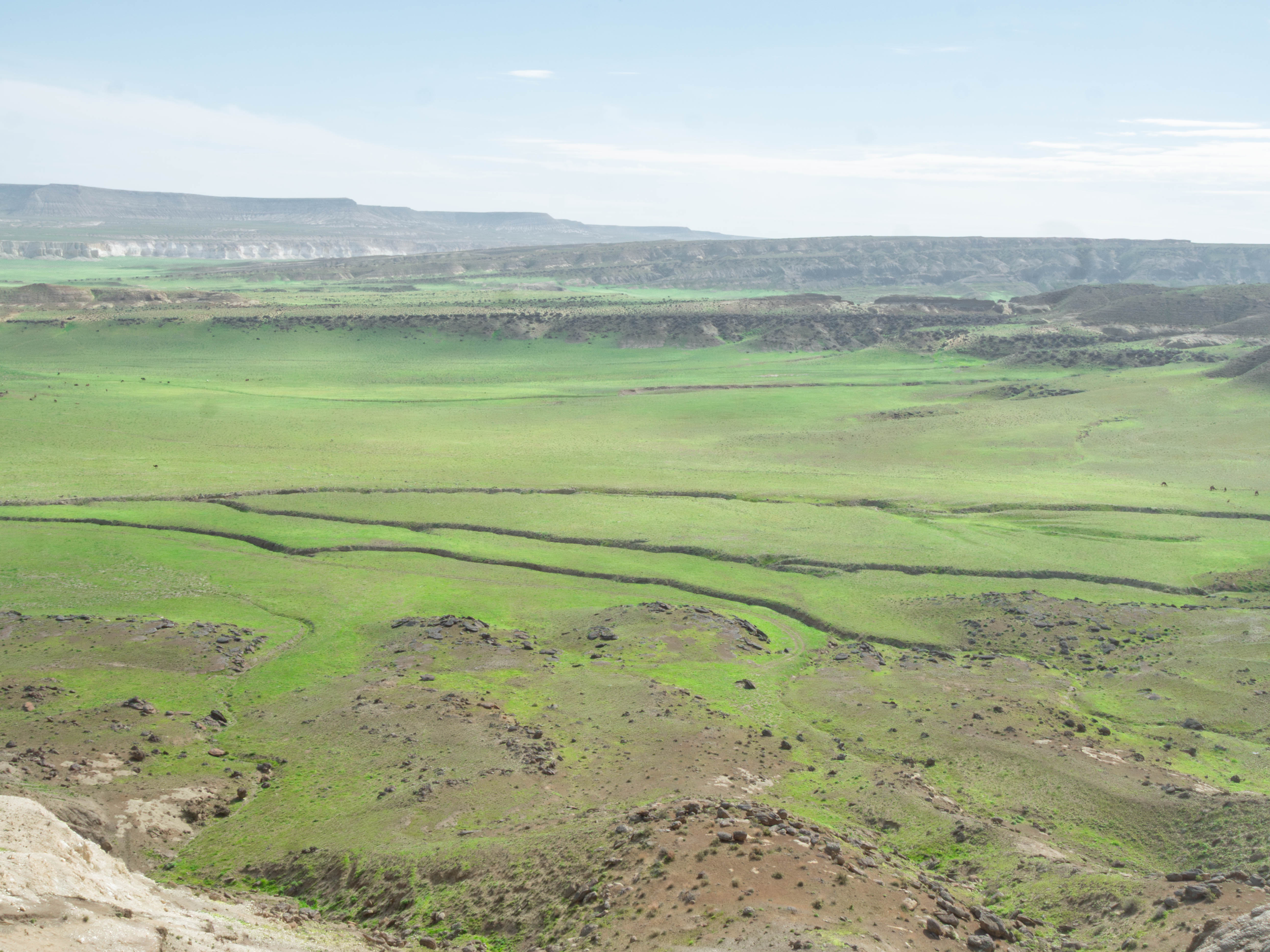
The surrounding greenery of Kurturmas
3The surrounding greenery of Kurturmas